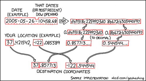
Today is a snow day for Lydia and we are going to attempt today’s geohash (link to the geohash wiki for it). What is a geohash? See this page to find out more. I’m sure we’ll take pictures on our way and while we are there. I’ll update this post when we get back.
I’ve already made a flickr set here.
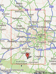
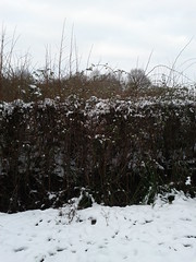
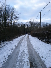
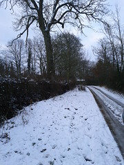
Ok, so we left Redhill around 3pm. We made it to the geohash a bit before 4. Everyone else in the car fell asleep so there aren’t any pictures from the actual journey. Nor is there any proof. Although, I took pictures that should me marked with the date/time as well as the lat/long markers. Here they are:
 |
||
| north | ||
 |
 |
|
| west | east | |
 |
||
| south |